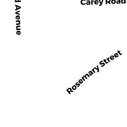
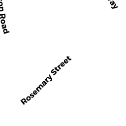
66 ROSEMARY ST
Owner Information
CHARLES RIVER ASSOC. FOR RETARDED
59 E. MILITIA HEIGHTS DR
NEEDHAM, MA 02492


Property Details
66 ROSEMARY ST is classified as a Other Educational (Educational Private) (Cl).
The primary structure on this property was built in 1930. There are 1,251ft2 of built area within this property. There is 2,502ft2 of residential/living space within this property. This property is listed as having 7 rooms.
66 ROSEMARY ST is valued at $940,200. The land is valued at $495,600 and the structures are valued at $444,600. There is an additional valuation of $84,930 on this property.
This property is in Zone B. Confirm with local Zoning Board authorities to ensure there are no overlays or other easements on this property.
The most recent deed for 66 ROSEMARY ST is recorded at the local registrar in Book 964, Page 44. 66 ROSEMARY ST was last sold on Friday, January 29, 2016 for $915,000.
Assessment data from fiscal year 2022.
Flood Data
According to the FEMA National Flood Hazard Layer, this property does not appear to be in a flood zone. It may also be in an area not yet reviewed. Nonetheless, confirm this information prior to taking any action.
To view the flood hazards around this property, create a FEMA "Firmette" Map of the area around 66 ROSEMARY ST.
Broadband Internet Providers
| Provider | Type | Bandwidth (mbps) | |
|---|---|---|---|
| GCI Communication Corp. | Satellite | 0 | 0 |
| HughesNet | Satellite | 25 | 3 |
| RCN | Cable | 500 | 20 |
| Comcast | Cable | 1000 | 35 |
| RCN | Fiber | 1000 | 20 |
| VSAT Systems, LLC. | Satellite | 2 | 1 |
| Verizon New England Inc. | Fiber | 940 | 880 |
| Verizon New England Inc. | DSL | 7 | 0 |
| Viasat Inc | Satellite | 100 | 3 |
| Crown Castle Fiber | Fiber | 0 | 0 |
Broadband service provider data from December 2020.